Kannur District Travel Map
Land of looms and lores, known for pristine beaches and Theyyam rituals
Best: October to March
Area: 2,966 sq km
Population: 25.63 lakhs
Interactive District Map
Drag to pan, scroll to zoom
100%
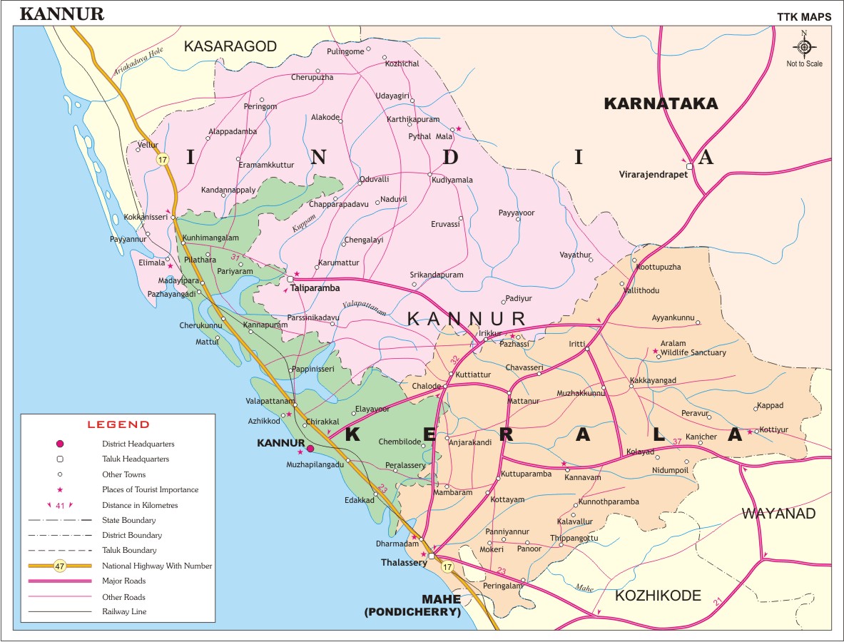
Kannur District
Explore district headquarters, taluk boundaries, tourist attractions, highways, and railway networks.
Key Attractions
Major Tourist Spots: Payyambalam Beach, St. Angelo Fort, Muzhappilangad Drive-in Beach, Theyyam
Travel Tip: The best time to visit Kannur is during October to March when the weather is most pleasant for sightseeing.