Karnataka Travel Map
Silicon Valley of India with palaces, wildlife, coffee plantations, and IT hub
Interactive State Map
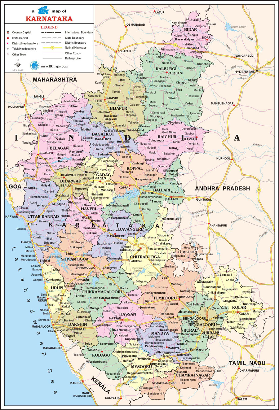
Karnataka State
Comprehensive travel map showing state capital, district headquarters, taluk boundaries, tourist places, national highways, and railway networks.
Major Tourist Attractions
Top Places to Visit: Mysore Palace, Hampi, Coorg, Bangalore, Jog Falls, Bandipur National Park
Travel Tip: The best time to visit Karnataka is during October to February when the weather is most pleasant for sightseeing.
Map Features
Road Networks
National highways, state highways, and major road routes
Railway Lines
Major railway stations and train routes
Cities & Towns
All major cities, district headquarters, and taluk centers
Tourist Places
Popular destinations and points of interest
Explore Nearby States
India Regional Maps
Discover tourist destinations across Indian states