Himachal Pradesh Travel Map
Mountain paradise with snow-capped peaks, scenic valleys, and adventure sports
Interactive State Map
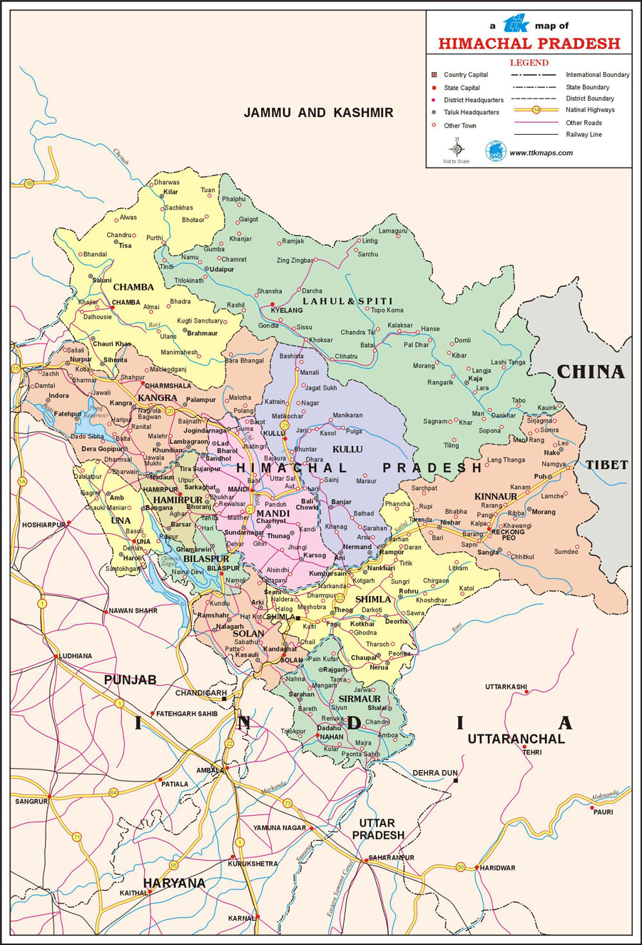
Himachal Pradesh State
Comprehensive travel map showing state capital, district headquarters, taluk boundaries, tourist places, national highways, and railway networks.
Major Tourist Attractions
Top Places to Visit: Shimla, Manali, Dharamshala, Kullu Valley, Spiti Valley, Rohtang Pass
Travel Tip: The best time to visit Himachal Pradesh is during March to June, December to February when the weather is most pleasant for sightseeing.
Map Features
Road Networks
National highways, state highways, and major road routes
Railway Lines
Major railway stations and train routes
Cities & Towns
All major cities, district headquarters, and taluk centers
Tourist Places
Popular destinations and points of interest
Explore Nearby States
India Regional Maps
Discover tourist destinations across Indian states